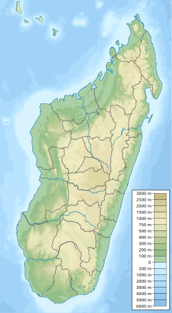
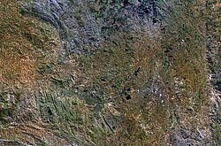
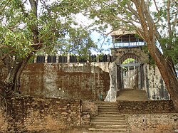
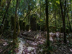
舆图

示意图,边界据 Natural Earth,不作为划界依据。
资料
- 所在国家 / 地区
- 马达加斯加
- 坐标
- 南纬 19.33°,东经 47.07°
Madagascar is a large island in the Indian Ocean located 400 kilometres (250 mi) off the eastern coast of Southern Africa, east of Mozambique. It has a total area of 587,040 square kilometres (226,660 sq mi) with 581,540 square kilometres (224,530 sq mi) of land and 6,900 square kilometres (2,700 sq mi) of water. Madagascar is the fourth-largest island in the world. The highest point is Maromokotro, in the Tsaratanana Massif region in the north of the island, at 2,876 metres (9,436 ft).
摘自英文维基百科「Madagascar (island)」,按 CC BY-SA 4.0 使用