舆图

资料
- 所在国家 / 地区
- 美国
- 坐标
- 北纬 33.99°,西经 107.19°
- 所属山脉
- 玛格达雷纳山脉
百科(英文)
这个词条没有中文维基百科条目,下面是英文维基百科的原文。
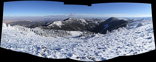
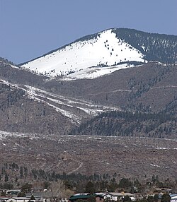
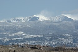
South Baldy is the highest point of the Magdalena Mountains in central New Mexico, in the United States. It is in the Magdalena Ranger District of the Cibola National Forest, about 9 mi (15 km) south of Magdalena and 18 mi (30 km) west-southwest of Socorro. It lies just north of the Langmuir Laboratory for Atmospheric Research of the New Mexico Institute of Mining and Technology, and site of the Magdalena Ridge Observatory Interferometer.
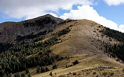
South Baldy can be accessed easily from the dirt road leading to Langmuir. Alternately, it can be accessed by trail from below. From a campground in Water Canyon (accessed from the northeast side of the range), a trail follows Forest Road 406 and then Trail 10 up Copper Canyon to the main crest of the range, where it joins Trail 8, the North Baldy Trail, which follows the crest. A short hike south on this trail and a little off-trail ascent leads to the summit of South Baldy.
The peak is the site of an annual mountain bike ascent race up the Langmuir Road as part of the Tour of Socorro.
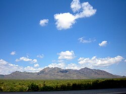
While not of exceptional height for New Mexico mountains, South Baldy is surrounded by low terrain, and hence is a highly visible landmark and the sixth most topographically prominent peak in the state.
以上摘自英文维基百科「South Baldy (New Mexico)」(去掉了表格、图片、参考文献和外部链接),按 CC BY-SA 4.0 使用。