舆图

资料
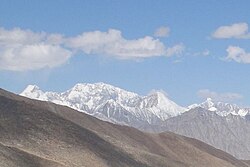
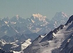
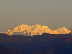
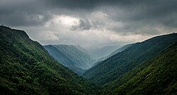
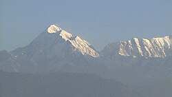
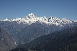
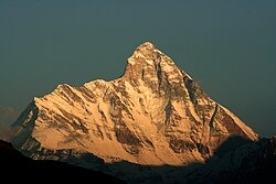
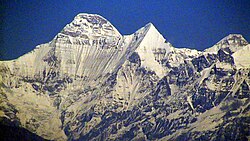
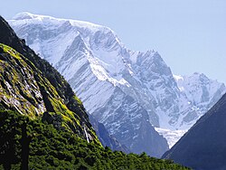
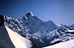
Tirsuli is a Himalayan mountain peak in the Chamoli district of Uttarakhand, India. It is part of the complex of mountains, including Tirsuli West, Hardeol, Dunagiri, Changabang, and Kalanka, which make up the northeast wall of the Nanda Devi Sanctuary, in the Garhwal Himalayas. It rises at the northern end of the Johar Valley, which drains into the Ghori Ganga. This peak should not be confused with nearby Trisul, which is on the southwest side of the Sanctuary.
摘自英文维基百科「Tirsuli West」,按 CC BY-SA 4.0 使用