舆图

示意图,边界据 Natural Earth,不作为划界依据。
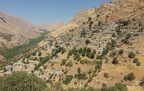
Cultural Landscape of Hawraman or Cultural Landscape of Uramanat is the 26th tangible cultural heritage of Iran. This remote and mountainous landscape bears testimony to the traditional culture of the Hawrami people, an agropastoral Kurdish tribe that has inhabited the region since about 3000 BCE. The property, at the heart of the Zagros Mountains in the provinces of Kurdistan and Kermanshah along the western border of Iran.
摘自英文维基百科「Cultural Landscape of Uramanat」,按 CC BY-SA 4.0 使用
资料