舆图

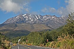
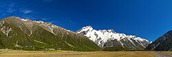
Mount Tūtoko is the highest peak in Fiordland National Park, in southwest New Zealand. It lies between the Hollyford Valley and Milford Sound, 15 kilometres (9.3 mi) due north of the Homer Tunnel at the northern end of the Darran Mountains. The glacier-covered mountain rises to a height of 2,723 metres (8,934 ft) and is visible from the Hollyford Track. Two slightly lower summits lie just to the south of the main peak.
摘自英文维基百科「Mount Tūtoko」,按 CC BY-SA 4.0 使用
资料
- 所在国家 / 地区
- 新西兰
- 坐标
- 南纬 44.59°,东经 168.01°
- 所属山脉
- Darran Mountains