舆图

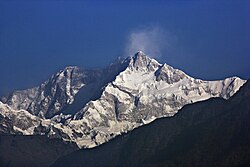
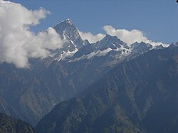
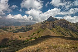
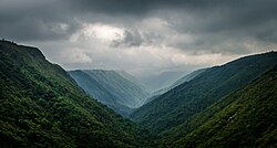
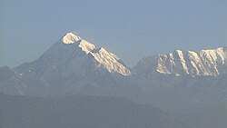
Saramati is a peak at an altitude of 2,885 metres (9,465 ft) on the border between the Indian state of Nagaland and the Naga Self-Administered Zone of the Sagaing Region of Myanmar. On the Indian side, the Naga village of Thanamir in Kiphire District lies at its foot.
摘自英文维基百科「Mount Saramati」,按 CC BY-SA 4.0 使用