舆图

示意图,边界据 Natural Earth,不作为划界依据。
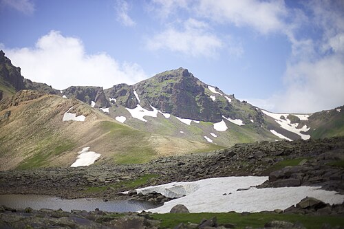
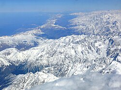
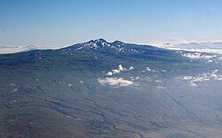
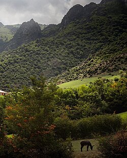
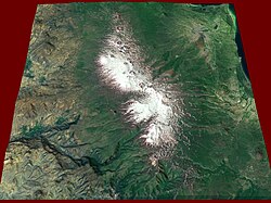
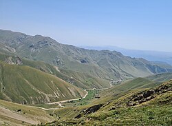
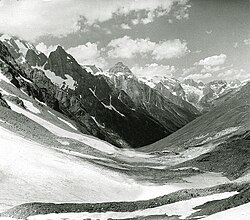
The Zangezur Mountains (Armenian: Զանգեզուրի լեռներ or Սյունյաց լեռներ, ) are a mountain range that defines the border between Armenia's southern provinces of Syunik, Vayots Dzor, and Azerbaijan's Nakhchivan Autonomous Republic. The Zangezur region has the second-largest tract of forests in Armenia. Additionally, located in the Zangezur Mountains, the forests cover more than 20% of the territory of Armenian Syunik province and reach an elevation of 2,200 metres (7,200 ft)-2,400 metres (7,900 ft).
摘自英文维基百科「Zangezur Mountains」,按 CC BY-SA 4.0 使用
资料