舆图

资料
- 所在国家 / 地区
- 意大利
- 坐标
- 北纬 42.47°,东经 13.00°
- 所属山脉
- Monti Reatini
百科(英文)
这个词条没有中文维基百科条目,下面是英文维基百科的原文。
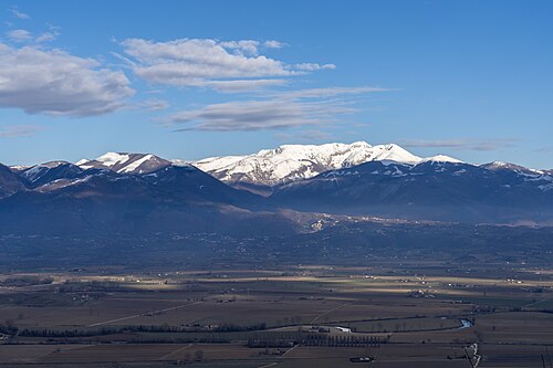
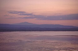
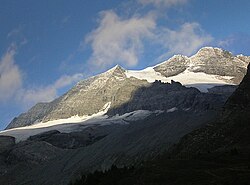
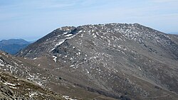
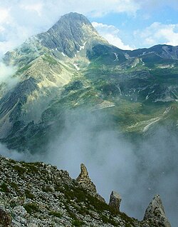
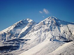
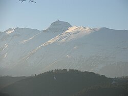
Monte Terminillo is a massif in the Monti Reatini, part of the Abruzzi Apennine range in central Italy. It is located some 20 km from Rieti and 100 km from Rome and has a highest altitude of 2,217 metres (7,274 ft).
It is a typical Apennine massif, both for its morphology, articulated but not exceedingly sharp, and for the fauna and vegetation. Its slopes are separated by the neighbouring smaller massifs by deep valleys, including the Valle Leonina, leading to Leonessa, and the Ravara and Capo Scura valleys leading to that of the Velino River. On the opposite sides are the Valle dell'Inferno ("Hell's Valley") and Valle degli Angeli ("Angels' Valley") leading to Rieti's plain and the mounts of Cantalice.
The Terminillo is an active ski resort.
以上摘自英文维基百科「Monte Terminillo」(去掉了表格、图片、参考文献和外部链接),按 CC BY-SA 4.0 使用。