舆图

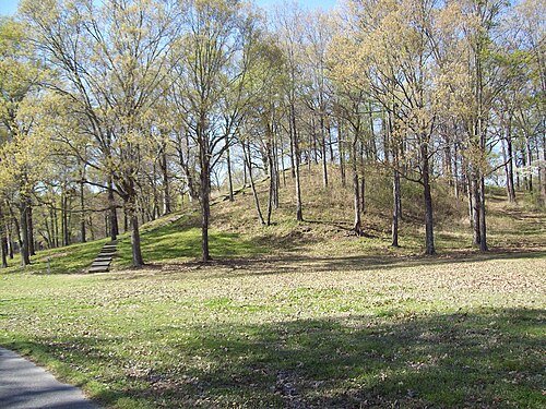
Poverty Point State Historic Site/Poverty Point National Monument (French: Pointe de Pauvreté; 16 WC 5) is a prehistoric earthwork constructed by the Poverty Point culture, located in present-day northeastern Louisiana. Evidence of the Poverty Point culture extends throughout much of the Southeastern Woodlands of the Southern United States. The culture extended more than 100 miles (160 km) laterally across the Mississippi Delta and an even greater distance southward to the Gulf Coast, with related or satellite cultures found further afield.
摘自英文维基百科「Poverty Point」,按 CC BY-SA 4.0 使用
资料