舆图
Jamālpur 二级行政中心
Mymensingh Division
- 国家 / 地区
- 孟加拉国
- 一级行政区
- Mymensingh Division
- 坐标
- 北纬 24.92°,东经 89.95°

示意图,边界据 Natural Earth,不作为划界依据。
更多资料
- 人口(Wikidata)
- 158,873(2022 年)
- 面积
- 55.2 平方千米
- 所属行政区
- 杰马勒布尔县
- 设立
- 1869 年
百科(英文)
这个词条没有中文维基百科条目,下面是英文维基百科的原文。
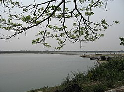
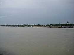
Jamalpur (Bengali: জামালপুর) is a city on the bank of the Old Brahmaputra river in the Mymensingh Division. It is the headquarters of the Jamalpur District and the Jamalpur Sadar Upazila. According to the 2022 Bangladeshi census, the population of Jamalpur is 158,889,
which makes it the 31st largest city in Bangladesh by population.
Etymology
The previous name of Jamalpur was Shinghojani. It was renamed for Hazrat Shah Jamal, who came from Yemen during the time of Akbar to spread Islam in the region, and whose shrine remains in the city.
The -pur suffix functions similar to western -burg, or -hrad, roughly meaning "town." It's a variant of the Sanskrit -pura, originally meaning a fortified earthen enclosure or a citadel used for refuge during battles or floods. It, along with other local variants, is commonly used across South Asia, as well as in surrounding regions.
Demographics
According to the 2022 Bangladesh census, Jamalpur city had 39,845 households and a population of 158,889. Jamalpur had a literacy rate of 80.10%: 82.88% for males and 77.39% for females, and a sex ratio of 97.93 males per 100 females. 8.33% of the population was under 5 years of age.
As of 2011 Jamalpur Paurashava had 33,845 households and a population of 142,764. 28,743 (20.13%) were under 10 years of age. Jamalpur has a literacy rate of 62.14% and a sex ratio of 999 females per 1000 males.
以上摘自英文维基百科「Jamalpur, Bangladesh」(去掉了表格、图片、参考文献和外部链接),按 CC BY-SA 4.0 使用。