舆图

资料
百科(英文)
这个词条没有中文维基百科条目,下面是英文维基百科的原文。
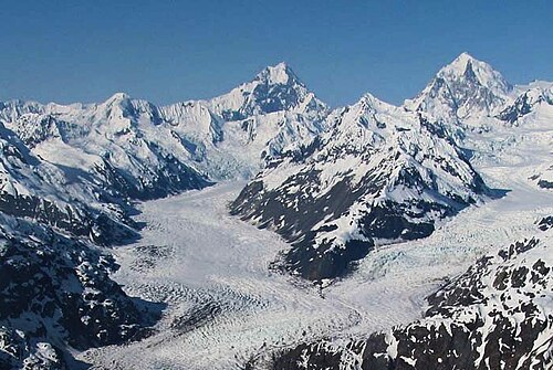
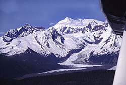
Mount Salisbury is a 12,170-foot (3,709 m) peak in the Fairweather Range of Alaska, six miles (10 km) southeast of Mount Fairweather. Its east slopes feed one of the northern branches of the Johns Hopkins Glacier, which flows into Glacier Bay. On its western side is a large cirque, shared with Mount Fairweather, Mount Quincy Adams, and Lituya Mountain, which heads the Fairweather Glacier; this flows almost to the Pacific coast at Cape Fairweather.
Though not exceptional in terms of absolute elevation, Mount Salisbury does possess great vertical relief over local terrain: for example, the southwest side of the mountain drops over 10,000 feet (3,048 m) to the Johns Hopkins Glacier in only five miles.
Mount Salisbury is not often climbed, partly due to its proximity to the higher and better-known Mount Fairweather, and partly due to difficult access and the typically bad weather that this range possesses.
Etymology
The mountain was named by W. O. Field, Jr. and William Skinner Cooper in 1936 to honor Rollin D. Salisbury (1858–1922), American geologist and professor of geology at the University of Chicago from 1892 until his death. The mountain's toponym was officially adopted in 1937 by the United States Board on Geographic Names.
以上摘自英文维基百科「Mount Salisbury」(去掉了表格、图片、参考文献和外部链接),按 CC BY-SA 4.0 使用。