舆图

资料
- 所在国家 / 地区
- 巴基斯坦
- 坐标
- 北纬 36.30°,东经 75.13°
- 所属山脉
- 海斯帕尔慕士塔格山
百科(英文)
这个词条没有中文维基百科条目,下面是英文维基百科的原文。
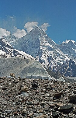
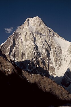
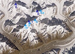
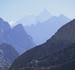
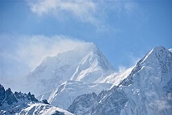
The Bularung Sar (Urdu: بلرنگ سر) is a 7,200-metre (23,622 ft) mountain in the Karakoram mountains range, Gilgit-Baltistan, northern Pakistan. It belongs to the range, called Hispar Muztagh, and is located between two other important peaks, Distaghil Sar and Trivor. On the northern flank flows Momhil glacier, on the southern slope runs Kunyang glacier..
The first ascent took place in July 1990 by a Swiss expedition on the south ridge. were members of the expedition: Alain Vaucher, Heinz Hügli, Lothar Matter, Carole Milz, Thierry Bionda, Christian Meillard, Gérard Vouga, Vincent von Kaenel, Jean-Jacques Sauvain and Jacques Aymon.
以上摘自英文维基百科「Bularung Sar」(去掉了表格、图片、参考文献和外部链接),按 CC BY-SA 4.0 使用。