舆图

示意图,边界据 Natural Earth,不作为划界依据。
资料
- 所在国家 / 地区
- 巴基斯坦
- 坐标
- 北纬 36.29°,东经 75.09°
- 所属山脉
- 海斯帕尔慕士塔格山
百科(英文)
这个词条没有中文维基百科条目,下面是英文维基百科的原文。
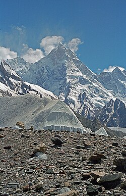
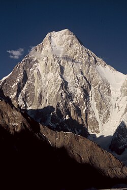
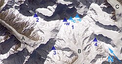
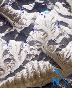
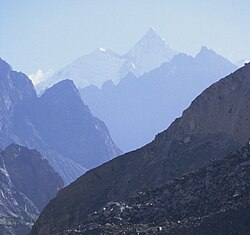
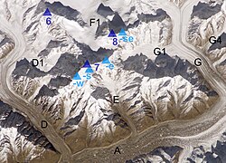
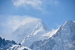
Trivor (Urdu: ترِووُر or Trivor Sar) is one of the high mountain peaks of the Hispar Muztagh, a subrange of the Karakoram range in the Shimshal Valley, Gilgit-Baltistan of Pakistan. Its height is often given as 7,728 metres (25,354 ft), but this elevation is not consistent with photographic evidence. The height given here is from a Russian 1:100,000 topographic map.
The first ascent of Trivor was made by a British–American party, Wilfrid Noyce (UK) and Jack Sadler (USA) reached the summit on 17 August 1960. They climbed from the Trivor Glacier, which runs towards the peak from the south-west, and gained the high col at the foot of the northwest ridge which they then followed to reach the summit. One of the members of the expedition team, Don Whillans, had shipped his motorbike (a 650cc Triumph Trophy) to Pakistan from the UK and after his climbing partners departed, he drove solo by motorbike the 7,000 miles from Rawalpindi to the UK.
There has been only one other successful ascent of the peak in the 64 years since Noyce and Sadler reached the summit.
In 1991 Atsushi Endo and Toshifumi Onuki made the second ascent. They also took the northwest ridge to the summit but they started from the north side, from the Momhil Glacier, and climbed a northeast-facing spur to gain the east ridge of the neighbouring Momhil Sar, they then descended to the col at the foot of Trivor’s northwest ridge and so to the summit.
以上摘自英文维基百科「Trivor」(去掉了表格、图片、参考文献和外部链接),按 CC BY-SA 4.0 使用。