舆图

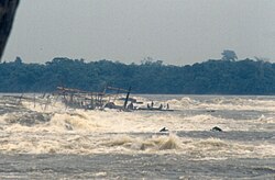
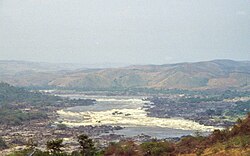
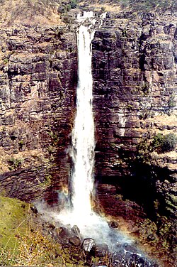
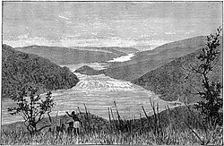
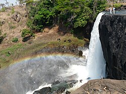
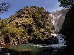
Mambilima Falls is a series of rapids on the Luapula River on the boundary between Zambia and the Democratic Republic of the Congo. The falls used to be called the Johnstone Falls. They extend along a 5 kilometres (3.1 mi) stretch of the river.
摘自英文维基百科「Mambilima Falls」,按 CC BY-SA 4.0 使用