舆图

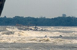
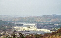
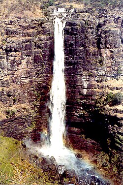
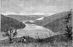
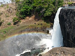
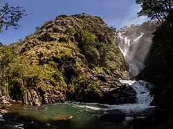
The Mambatuta Falls is a steep waterfall on the Luapula River, which originates in Lake Bangweulu and flows through Zambia and along the border with the Democratic Republic of the Congo into Lake Mweru.
摘自英文维基百科「Mambatuta Falls」,按 CC BY-SA 4.0 使用
The Mambatuta Falls is a steep waterfall on the Luapula River, which originates in Lake Bangweulu and flows through Zambia and along the border with the Democratic Republic of the Congo into Lake Mweru.
摘自英文维基百科「Mambatuta Falls」,按 CC BY-SA 4.0 使用