舆图

示意图,边界据 Natural Earth,不作为划界依据。
资料
- 所在国家 / 地区
- 印度
- 坐标
- 北纬 30.88°,东经 79.62°
- 所属山脉
- 加瓦尔喜马拉雅山脉
百科(英文)
这个词条没有中文维基百科条目,下面是英文维基百科的原文。
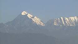
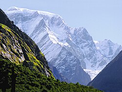
Mana Peak (Hindi: मना पर्वत) is a mountain in India. It is the 5th highest mountain located entirely within Uttarakhand. Nanda Devi is the highest mountain in this category. There are two known approaches to Mana Peak: one is the eastern approach through East Kamet glacier and the other is the southern approach through Nagthuni and Banke Kund glacier.
Mana Peak was first climbed solo in 1937 by Frank Smythe during his famous Valley of Flowers expedition.
以上摘自英文维基百科「Mana Peak」(去掉了表格、图片、参考文献和外部链接),按 CC BY-SA 4.0 使用。