舆图

资料
- 所在国家 / 地区
- 印度
- 坐标
- 北纬 30.75°,东经 79.29°
- 所属山脉
- Gangotri Group
百科(英文)
这个词条没有中文维基百科条目,下面是英文维基百科的原文。
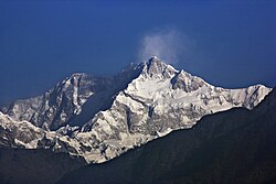
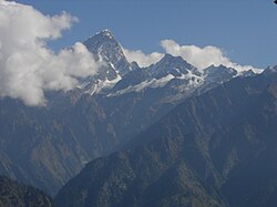
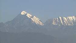
Chaukhamba is a mountain massif in the Gangotri Group of the Garhwal Himalaya. Its main summit, Chaukhamba I, is the highest peak in the group. It lies at the head of the Gangotri Glacier and forms the eastern anchor of the group. It is located in the northern Indian state of Uttarakhand, west of the Hindu holy town of Badrinath.
Summits
Chaukhamba has four summits, along a northeast–southwest trending ridge, and ranging in elevation from 7,138 metres (23,419 ft) to 6,854 m (22,487 ft) with an average elevation 7,014 m; the main summit is at the northeast end.
History
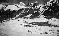
After unsuccessful attempts in 1938 and 1939, Chaukhamba I was first climbed on 13 June 1952, by Lucien George and Victor Russenberger (Swiss members of an otherwise French expedition). They ascended the northeast face, from the Bhagirathi-Kharak Glacier. Other members of the expedition were the French alpinist and traveler Marie-Louise Plovier Chapelle and the renowned French alpinist and climber Édouard Frendo.
Chaukhamba I is an ultra-prominent peak, with a prominence of more than 1,500m. Mana Pass is the key col for Chaukhamba I.
以上摘自英文维基百科「Chaukhamba」(去掉了表格、图片、参考文献和外部链接),按 CC BY-SA 4.0 使用。