舆图

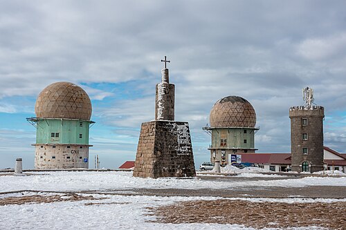
Torre is the highest point of mainland Portugal, and the second-highest of the country overall. This point is not a distinctive mountain summit, but rather the highest point in the Torre Plateau, in the central massif of the Estrela Mountains. Torre has an unusual feature of being a summit that is accessible by paved road, the Regional Road 339, formerly National Road 339. It is located on the border between the municipalities of Seia, District of Guarda and Covilhã, District of Castelo Branco.
摘自英文维基百科「Torre (Serra da Estrela)」,按 CC BY-SA 4.0 使用
资料