舆图

资料
- 所在国家 / 地区
- 美国
- 坐标
- 北纬 38.75°,西经 116.93°
- 所属山脉
- Toquima Range
- 所在保护区
- Alta Toquima Wilderness
百科(英文)
这个词条没有中文维基百科条目,下面是英文维基百科的原文。
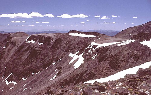
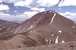
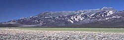
Mount Jefferson is the highest mountain in both the Toquima Range and Nye County in Nevada, United States. It is the sixth highest mountain in the state. As the high point of a range which is well separated from other ranges by low basins, Mount Jefferson has a high topographic prominence of 5,861 feet (1,786 m). This makes it the most prominent peak in Nye County and the third most prominent peak in Nevada (after Charleston Peak and Wheeler Peak). For similar reasons, it is also the highest mountain for over 90 miles in all directions. It is located about 50 miles (80 km) northeast of the county seat of Tonopah within the Alta Toquima Wilderness of the Humboldt-Toiyabe National Forest, near the smaller towns of Carvers and Round Mountain. Three distinct summits are located on a broad area of subalpine tundra: North Summit rises to 11,820 feet (3,603 m), Middle Summit to 11,692 feet (3,564 m), and South Summit to 11,949 feet (3,642 m). During the Pleistocene, alpine glaciers eroded several cirques east of the summit plateau.
以上摘自英文维基百科「Mount Jefferson (Nevada)」(去掉了表格、图片、参考文献和外部链接),按 CC BY-SA 4.0 使用。