舆图

资料
- 所在国家 / 地区
- 美国
- 坐标
- 北纬 38.91°,西经 115.42°
- 所属山脉
- White Pine Range
百科(英文)
这个词条没有中文维基百科条目,下面是英文维基百科的原文。
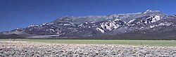
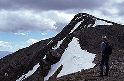
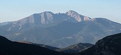
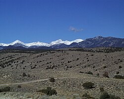
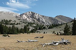
Currant Mountain is the highest mountain in the White Pine Range in White Pine County, Nevada, United States. It is the twenty-first-highest mountain in the state, and also ranks as the sixteenth-most topographically prominent peak in the state. Its summit consists of a series of three spires on a thin limestone ridge, with the southern spire being the highest at 11,518 feet (3,511 m). To the west are the Duckwater (Shoshone) tribal lands and the northern arm of large Railroad Valley. To the east is the northern part of White River Valley. The peak is located about 37 miles (60 km) southwest of the community of Ely near the Nye County border, within the Currant Mountain Wilderness of the Humboldt-Toiyabe National Forest.
以上摘自英文维基百科「Currant Mountain」(去掉了表格、图片、参考文献和外部链接),按 CC BY-SA 4.0 使用。