舆图

资料
- 所在国家 / 地区
- 冰岛
- 坐标
- 北纬 65.88°,西经 16.84°
百科(英文)
这个词条没有中文维基百科条目,下面是英文维基百科的原文。
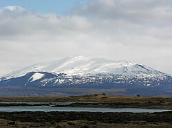
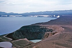
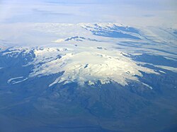
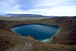
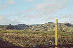
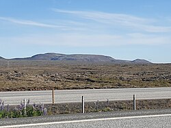
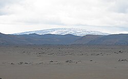
Theistareykjarbunga (Þeistareykjarbunga, Icelandic pronunciation: [ˈθeistaˌreiːcarˌpuŋka] ) is a shield volcano in north-eastern Iceland with two fissure vents called Þeistareykjahraun [ˈθeiːstaˌreiːcaˌr̥œyːn] and Borgahraun [ˈpɔrkaˌr̥œyːn], and two cones: the 370 m (1,210 ft) Stórahversmór [ˈstouːraˌkʰvɛr̥sˌmouːr̥] and the 540 m (1,770 ft), 30 km3 (7.2 cu mi) Stóravíti [ˈstouːraˌviːtɪ]. They both are currently extinct, although there is evidence suggesting the potential for activity such as recent localised uplift and seismicity. The multiple vents make up the Theistareykir (Þeistareykir) volcanic system, with more recent evidence that the former classification as a shield volcano is better considered an embryonic central volcano with associated fissure swarm, as rhyolite has erupted in a limited area. The recent lava has picrite, olivine tholeiite basalt characteristics but before the ice age there were basaltic andesite and rhyolite eruptions. There is a central high temperature geothermal area with numerous steam vents and fumaroles. This has been utilised by a 90 MWe power station.
Eruptions
There have been three dated eruptions, all VEI-0: the most recent eruption was around 900 BCE and the previous eruption was in 6800 BCE. Around 9500 BCE, an eruption produced approximately 18 billion cubic metres of basaltic lava.
以上摘自英文维基百科「Theistareykjarbunga」(去掉了表格、图片、参考文献和外部链接),按 CC BY-SA 4.0 使用。