舆图

资料
- 所在国家 / 地区
- 冰岛
- 坐标
- 北纬 65.43°,西经 16.65°
百科(英文)
这个词条没有中文维基百科条目,下面是英文维基百科的原文。
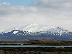
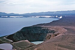
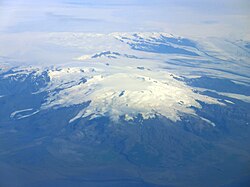
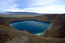
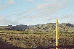
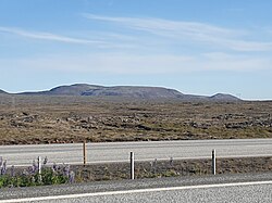
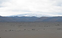
Fremrinámur (Icelandic pronunciation: [ˈfrɛmrɪˌnauːmʏr̥] ) is a volcano with a volcanic system located on the basalt plateau in Iceland. It is at the junction of the Mid-Atlantic Ridge and the Greenland–Iceland–Faeroe Ridge. It is one of five volcanic systems found in the axial rift zone in north-east Iceland.
Its height is about 939 m (3,081 ft).
Geology
There is a central volcano and a fissure swarm which is part of the Northern Volcanic Zone. The Fremrinámar volcanic system is about 130 km (81 mi) long, extending to the north sea coast, and up to 12 km (7.5 mi) wide.
The last eruption was in 800 BC (± 300 years). However compositional analysis of at least one recent southern local lava shows similarities to lavas from the Bárðarbunga volcanic system and so eruption history local to the volcano requires further understanding. After the last ice age there have been two periods of local activity, with a large lava shield of more than 5 km3 (1.2 cu mi) volume in the early Holocene and at least three lava shields deposited between 5000 and 3000 years ago, including the 4 km3 (0.96 cu mi) Ketildyngja lava shield. The largest recent fissure eruption was 3200 years ago and produced the Búrfellshraun lava flow which is 75 km2 (29 sq mi) in area. Recent lavas have been tholeiite basalt but in the Pleistocene the central volcano erupted silicic lava and multiple tuyas and tindars were formed under the ice sheet. Associated with the central volcano is a geothermal field that is just above the top of the shield volcano deposits.
Tectonically the system forms an eastern limit to the faulting of the Tjörnes fracture zone. Other extensional faults in the northern 60 km (37 mi) have had seismic activity consistent with propagation of dykes without eruption in the Holocene.
以上摘自英文维基百科「Fremrinámur」(去掉了表格、图片、参考文献和外部链接),按 CC BY-SA 4.0 使用。