舆图

示意图,边界据 Natural Earth,不作为划界依据。
资料
百科(英文)
这个词条没有中文维基百科条目,下面是英文维基百科的原文。
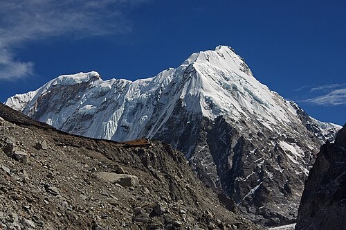
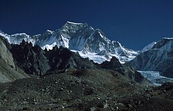
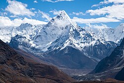
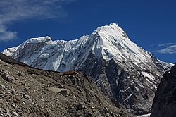
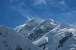
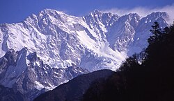
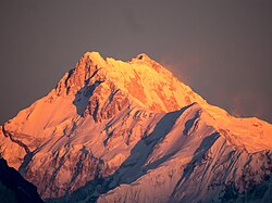
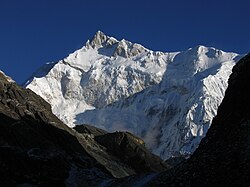
Kirat Chuli or Tent Peak is a mountain in the Himalayas. It lies on the border between Nepal and India.
Location
The peak is located at 7,365 m (24,163 ft) above sea level in the extreme northeast of Nepal and northwest of Sikkim. It is approximately two km northeast of Nepal Peak.
Climbing history
The first ascent was made by Ernst Grob, Herbert Paidar, and Ludwig Schmaderer on May 29, 1939.
以上摘自英文维基百科「Kirat Chuli」(去掉了表格、图片、参考文献和外部链接),按 CC BY-SA 4.0 使用。