舆图

示意图,边界据 Natural Earth,不作为划界依据。
资料
百科(英文)
这个词条没有中文维基百科条目,下面是英文维基百科的原文。
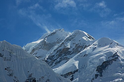
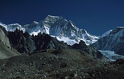
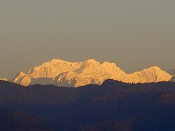
Gimmigela Chuli, or The Twins, are two-peak mountains in the Himalayas, located on the border between Taplejung, Mechi, Nepal and Sikkim, India.
Location
It has an elevation of 7,350 m (24,110 ft) above sea level and prominence is at 432 m (1,417 ft). It is situated approximately 4.2 km (2.6 mi) NNE from Kangchenjunga.
The mountain has a subpeak, Gimmigela Chuli II 7,005 m (22,982 ft) metres; prominence is at 185 m (607 ft). This subpeak, sometimes referred to as "Gimmigela's Sister", lies entirely within India. Together the two peaks, Gimmigela I and Gimmigela II, are known as "The Twins".
Climbing history
A Japanese expedition attempted to reach the west (main) summit in 1993 via the east ridge from Sikkim, ending on 18 October 1993 after the death of expedition leader Masanori Sato. The team had achieved the first ascent of Gimmigela II and were on the summit ridge connecting the two peaks in an attempt to summit Gimmigela I when Sato fell 35 metres (115 ft) into a hidden crevasse. Despite the efforts of the other team members, his body was not recovered and the expedition was terminated.
One year later in October 1994, Taroh Tanigawa, Koji Nagakubo and Yuichi Yoshida, members of the failed attempt in 1993, achieved the first ascent of Gimmigela I.
以上摘自英文维基百科「Gimmigela Chuli」(去掉了表格、图片、参考文献和外部链接),按 CC BY-SA 4.0 使用。