舆图

资料
- 所在国家 / 地区
- 美国
- 坐标
- 北纬 41.32°,西经 122.48°
- 所属山脉
- Trinity Mountains
- 所在保护区
- 沙斯塔-三一国家森林
百科(英文)
这个词条没有中文维基百科条目,下面是英文维基百科的原文。
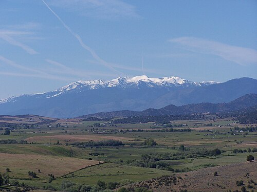
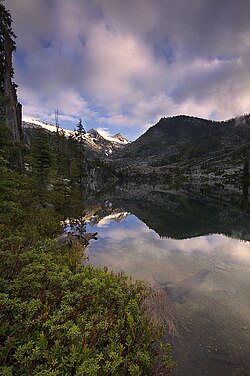
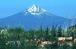
Mount Eddy is the highest peak of the Trinity Mountains, a mountain range of the Klamath Mountains System, located in Siskiyou County, and Trinity County in northern California.
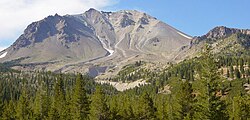
The mountain is in the Mount Eddy RNA, a Research Natural Area on the Shasta–Trinity National Forest, a unit of the United States Forest Service. The mountain is composed of mesozoic ultramafic rock, predominantly serpentinized peridotite.
Geography
The summit rises to an elevation of 9,037 feet (2,754 m), and is the highest point in Trinity County, the ninth most prominent peak in California, and the highest summit west of Interstate 5 in the United States.
The peak is west of Mount Shasta City and the massive Mount Shasta volcano. It is protected within the Shasta-Trinity National Forest.
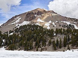
The mountain receives heavy snowfall during the winter due to its altitude.
The mountain is named in honor of Olive Paddock Eddy, who is mistakenly held to be the first woman to climb Mount Shasta. She was 8 months pregnant at the time that she is credited with climbing the volcano. Harriet Catherine Eddy was actually the first woman to summit the mountain. Nelson Harvey Eddy arrived in the area from New York State in 1856. He later became a successful rancher in the Shasta Valley. The original Wintu name might have been Num-mel-be-le-sas-pam or "west blaze mountain".
以上摘自英文维基百科「Mount Eddy」(去掉了表格、图片、参考文献和外部链接),按 CC BY-SA 4.0 使用。