舆图

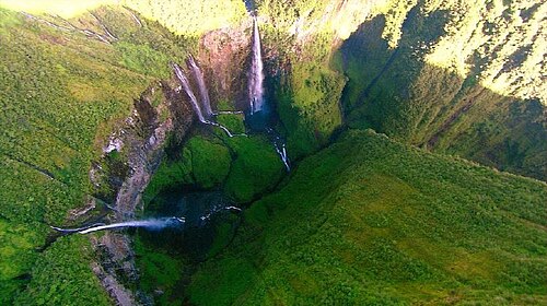
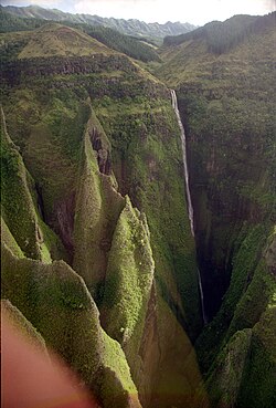
The Trou de Fer ("Iron Hole") is a canyon on Reunion Island, off the coast of Madagascar in the Indian Ocean. The primary river flowing through the gorge, which is up to 300 m (1,000 ft) deep, is the Bras de Caverne River, a tributary of the Rivière du Mât. The canyon has two distinct parts: a large crater, which is fed by six prominent waterfalls, and a narrow slot canyon at its outlet, which constitutes most of the canyon's length. The canyon starts at the waterfall of the Bras Mazerine stream and after some 1.4 – 1.8 km from the left side joins the main Bras de Caverne stream.
摘自英文维基百科「Trou de Fer」,按 CC BY-SA 4.0 使用
资料
- 所在国家 / 地区
- 法国
- 坐标
- 南纬 21.04°,东经 55.56°
- 所属山脉
- Massif du Piton des Neiges