舆图

示意图,边界据 Natural Earth,不作为划界依据。
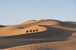
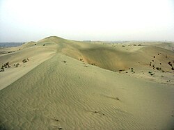
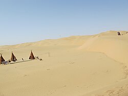
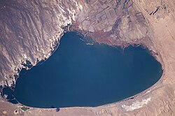
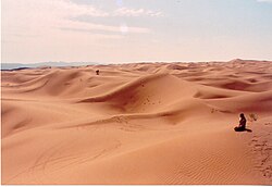
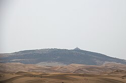
The Lop Desert, or the Lop Depression, is a desert extending from Korla eastwards along the foot of the Kuruk-tagh (meaning Dry Mountain) to the former terminal Tarim Basin in the Xinjiang Uyghur Autonomous Region of China. It is an almost perfectly flat expanse with no topographic relief. Lake Bosten in the northwest lies at an altitude of 1,030 to 1,040 m (3,380 to 3,410 ft), while the Lop Nur in the southeast is only 250 m lower.
摘自英文维基百科「Lop Desert」,按 CC BY-SA 4.0 使用
资料
- 所在国家 / 地区
- 中国
- 坐标
- 北纬 40.17°,东经 90.58°