舆图

资料
- 所在国家 / 地区
- 美国
- 坐标
- 北纬 38.44°,西经 109.23°
- 所属山脉
- 拉萨尔山脉
- 所在保护区
- 曼泰拉萨尔国家森林
百科(英文)
这个词条没有中文维基百科条目,下面是英文维基百科的原文。
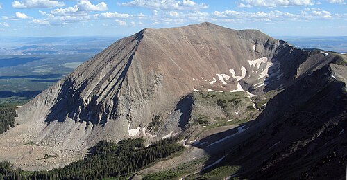
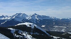
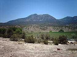
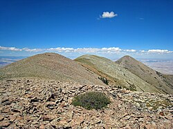
Mount Peale is the highest point in the La Sal Mountains of San Juan County, in the southeastern part of Utah, United States. It is also the highest point in Utah outside the Uinta Mountains. It is located about 20 mi (32 km) southeast of Moab. The summit is the highest point in the Manti-La Sal National Forest and the Mount Peale Research Natural Area. Mount Peale was named for Albert Peale, a mineralogist on the Hayden Survey of 1875.
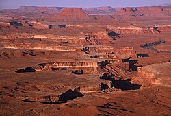
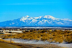
The La Sal Mountains sit on the arid Colorado Plateau, near such famous desert landmarks as Canyonlands National Park and Arches National Park. However, due to their height, the La Sals are heavily forested and usually snow-capped until early summer (there is one snowfield on the north side that usually lasts year round). Mount Peale can be seen on a clear day from the Wasatch Plateau of central Utah, near Orangeville, over 115 miles (190 km) away.
Mount Peale can be accessed from various directions, but is most commonly climbed from the area of La Sal Pass, 10,125 ft (3,086 m), about 3 mi (5 km) to the southwest of the peak. La Sal Pass is accessed from the southeast via a graded gravel road. From the pass, the summit is obtained by a short but steep off-trail hike of about 2.5 mi (4.0 km) with about 2,600 ft (800 m) of elevation gain. The route often involves some travel on snow, even in summer.
Climate
Mount Peale has an alpine dry-summer subarctic climate (Dsc) with cold, snowy winters with temperatures under freezing all day, and mild and moderately rainy summers with cool nights. The large amount of rain for Utah, as well as the cold overall temperatures are a result of the mountain's altitude of over 12000 ft.
Due to the cold climate, temperatures aren't consistently above freezing until July, and snow often remains on the mountain until then.
以上摘自英文维基百科「Mount Peale」(去掉了表格、图片、参考文献和外部链接),按 CC BY-SA 4.0 使用。