舆图

资料
- 所在国家 / 地区
- 美国
- 坐标
- 北纬 37.32°,西经 113.49°
- 所属山脉
- Pine Valley Mountains
百科(英文)
这个词条没有中文维基百科条目,下面是英文维基百科的原文。
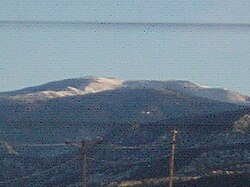
Signal Peak, with an elevation of 10,369 feet (3,160 m), is the highest peak in the Pine Valley Mountains and in Washington County in southwestern Utah, United States. Signal Peak is located north of the city of St. George and south of the community of Pine Valley in the Dixie National Forest. The summit is the highest point in the Pine Valley Mountain Wilderness.
Signal Peak is in the watershed of tributaries of the Virgin River, which itself is a tributary of the Colorado River.
A trail to the top can be found at Oak Grove campground near the neighboring city of Leeds, Utah.
以上摘自英文维基百科「Signal Peak (Utah)」(去掉了表格、图片、参考文献和外部链接),按 CC BY-SA 4.0 使用。