舆图

资料
百科(英文)
这个词条没有中文维基百科条目,下面是英文维基百科的原文。
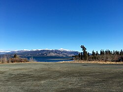
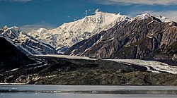
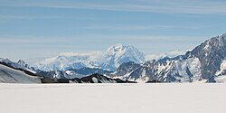
Mount Queen Mary is located 85 km (53 mi) southwest of Destruction Bay, Yukon.
The mountain was named in 1935, along with the nearby (6 km away) Mount King George, for George V’s and Queen Mary's silver jubilee, or 25 years of rule.
Although large, the mountain has easy angle aspects, in particular from the north. The first ascent took place in 1961, when a seven-person team from Seattle climbed the northeast ridge. The west ridge was first climbed in 1978 by a Canadian team including a dog. Several other ascents of the peak have been made, but largely from the north and west sides of the mountain.
以上摘自英文维基百科「Mount Queen Mary」(去掉了表格、图片、参考文献和外部链接),按 CC BY-SA 4.0 使用。