舆图

资料
百科(英文)
这个词条没有中文维基百科条目,下面是英文维基百科的原文。
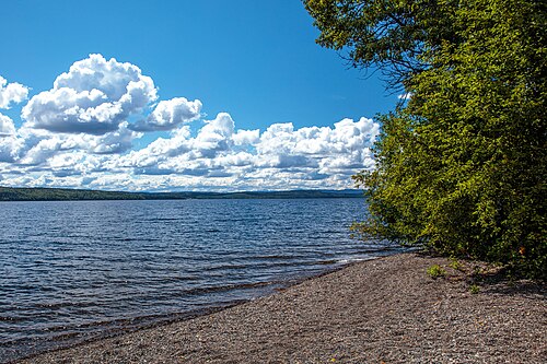
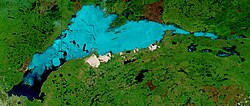
François Lake in British Columbia is about 30 km (19 mi) south of Burns Lake and 10 km (6.2 mi) west of Fraser Lake. The lake is 110 km (68 mi) long, making it the second longest natural lake entirely within British Columbia after Babine Lake. Nadina River is the inflow of the lake at the west and Stellako River is the outflow of the lake. The lake is popularly fished for its rainbow trout and char.
Because of its shape, the lake was called Nidabun, meaning "lip lake." The French-Canadians mistook Nidaa for nedo, which meant "whiteman," and named it Lac des Français (meaning Lake of the French). The name Français later was altered to François and is pronounced locally as Francis.
Climate
Equity Silver is a weather station roughly 20 km (12.4 miles) north of François Lake, at an elevation of 1280 m (4199 ft). Equity Silver has a subarctic climate (Köppen Dfc), bordering on a tundra climate (Köppen ET).
以上摘自英文维基百科「François Lake」(去掉了表格、图片、参考文献和外部链接),按 CC BY-SA 4.0 使用。