舆图

资料
- 所在国家 / 地区
- 美国
- 坐标
- 北纬 42.50°,西经 120.88°
- 所在保护区
- 吉尔哈特山原野
百科(英文)
这个词条没有中文维基百科条目,下面是英文维基百科的原文。
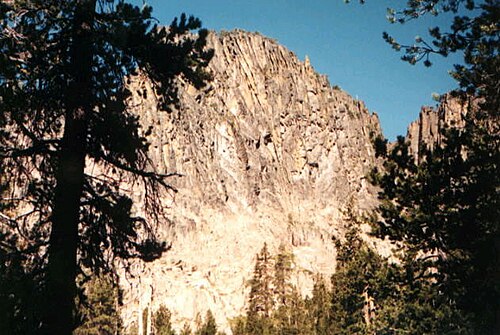
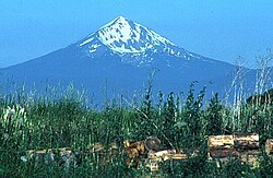
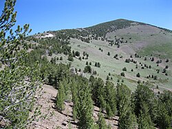
Gearhart Mountain is a 8,364-foot-high (2,549 m) mountain in Lake County and Klamath County, Oregon, in the United States. It is located in the Gearhart Mountain Wilderness of the Fremont–Winema National Forest, northeast of the Sprague River valley and the town of Bly.
Geology
Gearhart Mountain is one of the larger volcanoes in Lake County. It is a Miocene shield volcano and stratovolcano that has been eroded and become extinct.
以上摘自英文维基百科「Gearhart Mountain」(去掉了表格、图片、参考文献和外部链接),按 CC BY-SA 4.0 使用。