舆图

资料
- 所在国家 / 地区
- 加拿大
- 坐标
- 北纬 50.73°,西经 116.81°
- 所属山脉
- The Bugaboos
百科(英文)
这个词条没有中文维基百科条目,下面是英文维基百科的原文。
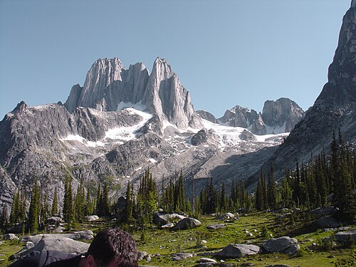
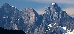
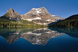
Howser Spire, or Howser Spire Massif, is a group of three distinct granite peaks, and the highest mountain of the Canadian Bugaboo Spires. The mountain is located at the southwest corner of the Vowell Glacier, within the Bugaboo mountain range in the Purcell Mountains, a subrange of British Columbia's Columbia Mountains,
The highest of the three spires is the North Tower at 3,412 m (11,194 ft), the Central Tower the lowest, and the South Tower is slightly lower than the North at 3,292 m (10,801 ft).
Howser Spire is named after the town of Howser on Duncan Lake and Howser Creek.
The first ascent of the North Tower was made in August 1916 by Conrad Kain, Albert MacCarthy, E. MacCarthy, J. Vincent and Henry Frind.
The Beckey-Chouinard/West Buttress route is recognized in the historic climbing text Fifty Classic Climbs of North America and considered a classic around the world.
Climate
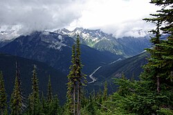
Based on the Köppen climate classification, Howser Spire is located in a subarctic climate zone with cold, snowy winters, and mild summers. Winter temperatures can drop below −20 °C with wind chill factors below −30 °C. This climate supports the Vowell Glacier on the peak's north slope.
Nearby
Brenta Spire
Bugaboo Spire (3,204 m)
Conrad Kain hut
Crescent Towers
Hound's Tooth
Marmolata Spire
Pigeon Spire (3,156 m)
Snowpatch Spire (3,084 m)
以上摘自英文维基百科「Howser Spire」(去掉了表格、图片、参考文献和外部链接),按 CC BY-SA 4.0 使用。