舆图

资料
- 所在国家 / 地区
- 加拿大
- 坐标
- 北纬 50.55°,西经 118.13°
- 所属山脉
- Gold Range
百科(英文)
这个词条没有中文维基百科条目,下面是英文维基百科的原文。
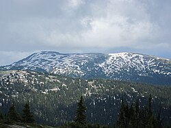
Mount Odin is a mountain in British Columbia, Canada. The mountain was likely named by George Dawson as his map contains the earliest known appearance of the name.
Mount Odin is notable for being the highest mountain peak in the Gold Range of the Monashee Mountains, and for its significant topographic relief of approximately 1,931 metres (6,335 ft) to adjacent valleys and 2,542 metres (8,340 ft) to Upper Arrow Lake, 12.5 kilometres (7.8 mi) to the east.
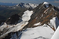
The summit is most commonly reached by ascending the southern or eastern sides, accessible via a network of logging roads from Highway 23. The eastern terrain contains Frigg Creek, several glacial lakes, and the Frigg Glacier.
以上摘自英文维基百科「Mount Odin (British Columbia)」(去掉了表格、图片、参考文献和外部链接),按 CC BY-SA 4.0 使用。