舆图

资料
- 所在国家 / 地区
- 加拿大
- 坐标
- 北纬 55.23°,西经 128.87°
- 所属山脉
- 海岸山脉
百科(英文)
这个词条没有中文维基百科条目,下面是英文维基百科的原文。
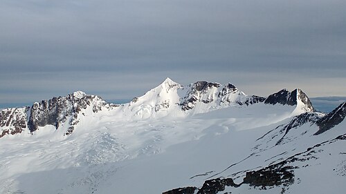
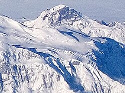
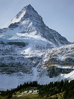
Mount Priestley is a mountain in the Kitimat Ranges of the Coast Mountains in northwestern British Columbia, Canada. It is located in the Cassiar Land District, northeast of Nisga'a Memorial Lava Bed Provincial Park.
The mountain has an elevation of 2,366 metres (7,762 ft) and a topographic prominence of 1,945 metres (6,381 ft), making it an ultra-prominent peak. Because of its large prominence above the surrounding terrain, Mount Priestley is one of the more topographically significant peaks in this part of the Coast Mountains.
Geography
Mount Priestley rises above the Nass Valley region of northwestern British Columbia. The mountain is situated near the northeastern side of Nisga'a Memorial Lava Bed Provincial Park, an area known for its volcanic landscape and lava flows.
The peak is part of the Kitimat Ranges, a subdivision of the Coast Mountains. Its official coordinates are 55°13′46″N 128°52′33″W.
Climbing history
Mount Priestley was first climbed on June 20, 2017, by John Gill, Jordan Craven and Drew Copeland. The party made the ascent by the east ridge, a route they named "The Steven".
The climb formed part of a four-day expedition. The climbers began from Nisga'a Memorial Lava Bed Provincial Park on June 18 and returned on June 21. According to Gripped, the approach involved old logging roads, cutblocks, an exposed ridge, glacier travel and steep snow and rock before the team reached the summit.
The 2017 ascent was reported as the first known ascent of the mountain.
以上摘自英文维基百科「Mount Priestley (British Columbia)」(去掉了表格、图片、参考文献和外部链接),按 CC BY-SA 4.0 使用。